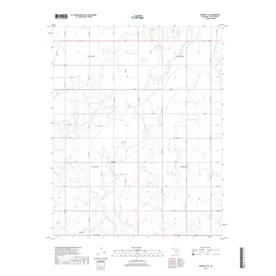
2018 Map of Hardesty SE
USGS Topo · Published 2018About this map
Range sits at the heart of this high plains landscape, situated near the intersection of several county routes in Texas County. The settlement and the nearby Range Cem provide essential anchor points for researchers tracing family history in this corner of the Oklahoma Panhandle. The terrain is defined by the complex drainage systems of Palo Duro Creek and its various tributaries, which have carved distinct patterns across the prairie. Significant water features such as Webb Lake and Hackberry Creek interrupt the grid of section roads, illustrating how natural hydrology continues to influence the layout of rural ranching and farming lands. The transition from the headwaters of Chiquita Creek to the broader path of Cottonwood Cr highlights the subtle yet critical elevation changes that dictate the flow of water toward the North Canadian River basin.
Find a feature on this map
47 named features on this map. Tap any name to fly to it.
Don’t see what you’re looking for? This feature index may not catch every label — zoom into the map to look around manually.
Map Details
Editions of this 2018 Hardesty SE Map
This is the sole edition of this map. No revisions or reprints were ever made.
Other maps of this area

1954 · Perryton
USGS Topo · 1:250,000

1958 · Perryton
USGS Topo · 1:250,000

1962 · Hansford Camp
USGS Topo · 1:24,000

1968 · Hardesty
USGS Topo · 1:24,000

1968 · Optima Dam
USGS Topo · 1:24,000

1968 · Hardesty SE
USGS Topo · 1:24,000

1968 · Hardesty NE
USGS Topo · 1:24,000

1973 · Horseshoe Hill
USGS Topo · 1:24,000

1973 · Bryans Corner SW
USGS Topo · 1:24,000

1973 · Red Horse Creek
USGS Topo · 1:24,000