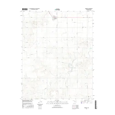
2016 Map of Hardesty
USGS Topo · Published 2016About this map
Hardesty sits at the northern edge of this Panhandle landscape, where the local grid of Spearman Rd and RD Aa meets the core town streets like Broadway and Peery St. The surrounding terrain in Texas County is defined by a series of intermittent watercourses, including Dry Cr and Peacher Cr, which carve through the high plains toward the Hackberry Cr drainage system.
Find a feature on this map
42 named features on this map. Tap any name to fly to it.
Don’t see what you’re looking for? This feature index may not catch every label — zoom into the map to look around manually.
Map Details
Editions of this 2016 Hardesty Map
This is the sole edition of this map. No revisions or reprints were ever made.
Other maps of this area

1954 · Perryton
USGS Topo · 1:250,000

1958 · Perryton
USGS Topo · 1:250,000

1962 · Hansford Camp
USGS Topo · 1:24,000

1968 · Hardesty
USGS Topo · 1:24,000

1968 · Optima Dam
USGS Topo · 1:24,000

1968 · Hardesty SE
USGS Topo · 1:24,000

1968 · Hardesty NE
USGS Topo · 1:24,000

1968 · Guymon NE
USGS Topo · 1:24,000

1968 · Guymon SE
USGS Topo · 1:24,000

1973 · Horseshoe Hill
USGS Topo · 1:24,000