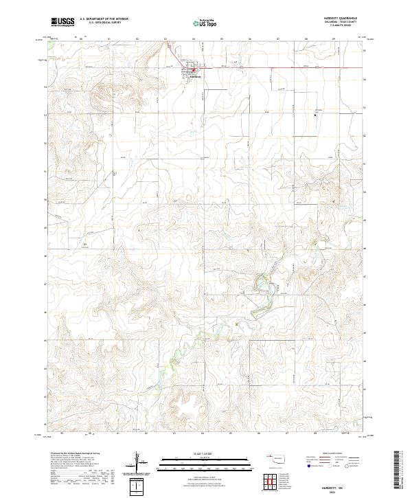
2022 Map of Hardesty
USGS Topo · Published 2022About this map
Hardesty is the central hub of this Texas County survey, located at the intersection of Rd Aa and Spearman Rd. The township layout is clearly defined with residential streets such as Main St and Crawford St serving the local community. The surrounding landscape is dominated by an extensive network of seasonal watercourses, most notably the winding paths of Hackberry Creek and Peacher Cr. These drainage patterns indicate the arid nature of the Oklahoma Panhandle, where water management is central to the land's utility. Local history is anchored by the Hartsville Cem to the east and Stinson Reservoir, which reflects the importance of water storage in this agricultural region. The map also records the section-line road system, including 50 Mile Rd and Mile 45, which has dictated the area's development for generations.
Find a feature on this map
44 named features on this map. Tap any name to fly to it.
Don’t see what you’re looking for? This feature index may not catch every label — zoom into the map to look around manually.
Map Details
Editions of this 2022 Hardesty Map
This is the sole edition of this map. No revisions or reprints were ever made.
Other maps of this area

1954 · Perryton
USGS Topo · 1:250,000

1958 · Perryton
USGS Topo · 1:250,000

1962 · Hansford Camp
USGS Topo · 1:24,000

1968 · Hardesty
USGS Topo · 1:24,000

1968 · Optima Dam
USGS Topo · 1:24,000

1968 · Hardesty SE
USGS Topo · 1:24,000

1968 · Hardesty NE
USGS Topo · 1:24,000

1968 · Guymon NE
USGS Topo · 1:24,000

1968 · Guymon SE
USGS Topo · 1:24,000

1973 · Horseshoe Hill
USGS Topo · 1:24,000