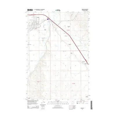
1954 Map of Hardin
USGS Topo · Published 1973About this map
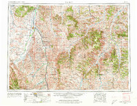
Hardin stands at the northern edge of this southeastern Montana landscape, where the confluence of the Bighorn River and the Little Bighorn River defines the local geography. In the mid-1950s, this region was dominated by the expansive lands of the Crow Indian Reservation and the Northern Cheyenne Indian Reservation, punctuated by the rising elevations of the Wolf Mountains and the Pine Ridge. The map details a transition from the river-bottom agriculture near Crow Agency to the high-country timber of the Custer National Forest.
Find a feature on this map
50 named features on this map. Tap any name to fly to it.
Don’t see what you’re looking for? This feature index may not catch every label — zoom into the map to look around manually.
Map Details
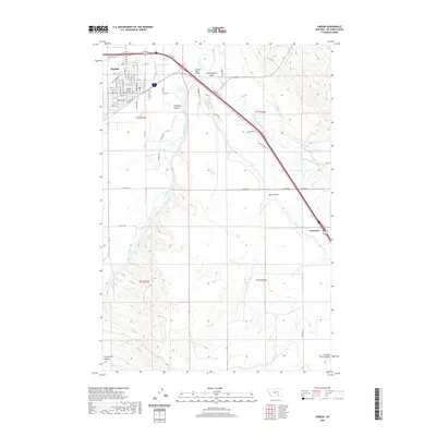
Editions of this 1954 Hardin Map
2 editions found

Historical Maps of Hardin Through Time
10 maps found
1954 Hardin
Big Horn County, MT

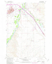
1957 Hardin
Big Horn County, MT

1958 Hardin
Big Horn County, MT
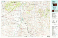
1960 Hardin
Big Horn County, MT
1981 Hardin
Big Horn County, MT
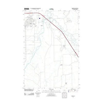
2011 Hardin
Big Horn County, MT
2014 Hardin
Big Horn County, MT

2017 Hardin
Big Horn County, MT
2020 Hardin
Big Horn County, MT
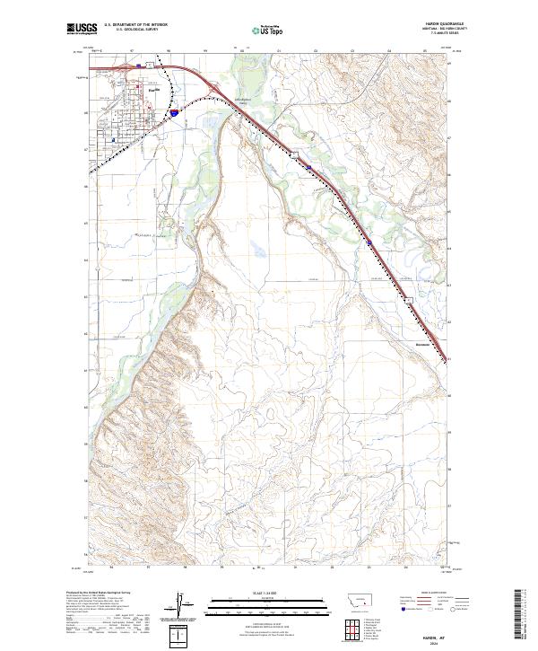
2024 Hardin
Big Horn County, MT