
1931 Map of Hardinsburg
USGS Topo · Published 1931About this map
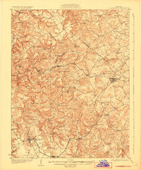
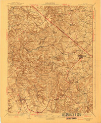
The county seat of Hardinsburg serves as the focal point of this 1928 survey, showing a landscape defined by deeply incised hollows and a dense network of early 20th-century rural infrastructure. The Louisville and Nashville railroad cuts across the terrain, linking the bustling junction at Irvington with the surrounding agricultural settlements. This era captures the height of the district school system, with dozens of family and community-named institutions such as Giltedge Sch, Arnold Sch, and Walnut Grove Sch peppered throughout the hills.
Find a feature on this map
65 named features on this map. Tap any name to fly to it.
Don’t see what you’re looking for? This feature index may not catch every label — zoom into the map to look around manually.
Map Details
Editions of this 1931 Hardinsburg Map
3 editions found
Other maps of this area

1928 · Hardinsburg
USGS Topo · 1:48,000

1931 · Corydon
USGS Topo · 1:62,500

1932 · Big Clifty
USGS Topo · 1:62,500

1932 · Fordsville
USGS Topo · 1:62,500

1934 · Cannelton
USGS Topo · 1:62,500

1941 · Ekron
USGS Topo · 1:62,500

1947 · Irvington
USGS Topo · 1:24,000

1947 · Lodiburg
USGS Topo · 1:24,000

1947 · Hardinsburg
USGS Topo · 1:24,000

1947 · Garfield
USGS Topo · 1:24,000