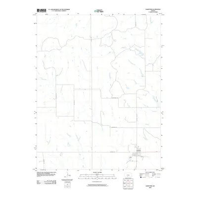
2009 Map of Hardtner
USGS Topo · Published 2009About this map
The town of Hardtner anchors the southeastern corner of this Barber County landscape, where the prairie grid meets the meandering courses of Driftwood Creek and its tributary, Little Driftwood Creek. The road network provides a detailed look at rural Kansas geography, featuring locally named routes such as Rattlesnake Trl and Gyp Hill Rd, which likely reflect the area's geological and wildlife characteristics.
Find a feature on this map
12 named features on this map. Tap any name to fly to it.
Don’t see what you’re looking for? This feature index may not catch every label — zoom into the map to look around manually.
Map Details
Editions of this 2009 Hardtner Map
This is the sole edition of this map. No revisions or reprints were ever made.
Other maps of this area

1891 · Medicine Lodge
USGS Topo · 1:125,000

1893 · Medicine Lodge
USGS Topo · 1:125,000

1955 · Woodward
USGS Topo · 1:250,000

1955 · Pratt
USGS Topo · 1:250,000

1958 · Woodward
USGS Topo · 1:250,000

1959 · Pratt
USGS Topo · 1:250,000

1968 · Capron
USGS Topo · 1:24,000

1969 · Tegarden NE
USGS Topo · 1:24,000

1969 · Alva NW
USGS Topo · 1:24,000

1973 · Hardtner NW
USGS Topo · 1:24,000