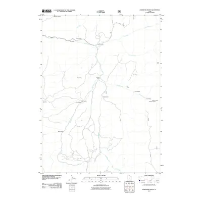
2011 Map of Hardware Ranch
USGS Topo · Published 2011About this map
Hardware Ranch serves as the central landmark in this high-altitude landscape of northern Utah, where the Blacksmith Fork river carves through the terrain. The map details a network of canyons and hollows that define the local geography, from the heights of Gold Hill and Deer Ridge to the corridors of Rock Canyon and Lions Hollow. This 2011 survey documents the established ranching and recreational sites of the area, including Anderson Ranch and Camp Wapiti. Modern access is defined by routes such as Ant Flat Rd and Laketown Rd, which follow the natural contours of Ant Valley and the drainage of Sheep Creek. The layout of the land reveals a heritage of mountain use, where water sources like Mill Creek and Curtis Creek have long dictated the placement of homesteads and camps.
Find a feature on this map
26 named features on this map. Tap any name to fly to it.
Don’t see what you’re looking for? This feature index may not catch every label — zoom into the map to look around manually.
Map Details
Editions of this 2011 Hardware Ranch Map
This is the sole edition of this map. No revisions or reprints were ever made.
Other maps of this area

1912 · Randolph
USGS Topo · 1:125,000

1914 · Logan
USGS Topo · 1:125,000

1916 · Logan
USGS Topo · 1:125,000

1949 · Boulter Mts
USGS Topo · 1:24,000

1954 · Ogden
USGS Topo · 1:250,000

1958 · Ogden
USGS Topo · 1:250,000

1960 · Ogden
USGS Topo · 1:250,000

1964 · Monte Cristo PK
USGS Topo · 1:24,000
1964 · Sharp Mountain
USGS Topo · 1:24,000

1968 · Dairy Ridge
USGS Topo · 1:24,000