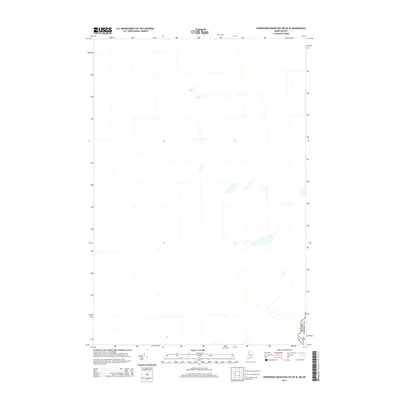
2014 Map of Hardwood Mountain SW OE W
USGS Topo · Published 2014About this map
The international border between the United States and Canada defines this northern frontier landscape at the edge of Somerset Co. This 2014 survey captures a sparsely populated and heavily wooded region where the Canada USA boundary line cuts through the forest, marking the northernmost reaches of Maine. The terrain is characterized by a dense network of small streams and wetlands, illustrating the primitive hydrological patterns of the North Woods before major industrial or residential development. This map serves as a precise record of the geopolitical boundary and the natural drainage systems that cross it, providing a clean baseline of the area's physical geography for those studying the borderlands of Northern Somerset County.
Find a feature on this map
2 named features on this map. Tap any name to fly to it.
Don’t see what you’re looking for? This feature index may not catch every label — zoom into the map to look around manually.
Map Details
Editions of this 2014 Hardwood Mountain SW OE W Map
This is the sole edition of this map. No revisions or reprints were ever made.
Other maps of this area

1957 · Norris Brook
USGS Topo · 1:62,500

1957 · Hardwood Mountain
USGS Topo · 1:62,500

1957 · Saint Zacharie
USGS Topo · 1:62,500

1962 · Quebec
USGS Topo · 1:250,000
1986 · Lac Etchemin
USGS Topo · 1:100,000
1989 · Black Brook
USGS Topo · 1:24,000
1989 · Hardwood Mountain SW
USGS Topo · 1:24,000
1989 · St. Zacharie North
USGS Topo · 1:24,000
1993 · Lac Etchemin
USGS Topo · 1:100,000
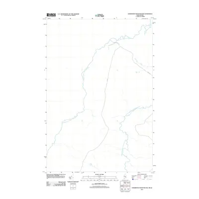
2011 · Hardwood Mountain SW
USGS Topo · 1:24,000