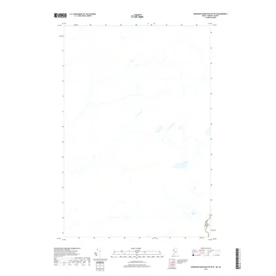
2018 Map of Hardwood Mountain SW OE W
USGS Topo · Published 2018About this map
The international border between Canada and the United States defines the southeastern corner of this landscape in Somerset County, Maine. Set within a territory characterized by extensive hydrography, the map details numerous unnamed streams and wetlands that form the headwaters of the regional drainage system. The terrain is sparsely developed, with the primary human footprint being the geopolitical boundary itself. This 2018 survey serves as a modern record of the natural topography and the legal line demarcating the frontier between Maine and Quebec. While the interior is dominated by a complex network of water bodies and marshlands, the demarcated Canada-USA border provides the singular point of reference for researchers and local historians studying the international boundary line in this northern reach.
Find a feature on this map
1 named feature on this map. Tap any name to fly to it.
Don’t see what you’re looking for? This feature index may not catch every label — zoom into the map to look around manually.
Map Details
Editions of this 2018 Hardwood Mountain SW OE W Map
This is the sole edition of this map. No revisions or reprints were ever made.
Other maps of this area

1957 · Norris Brook
USGS Topo · 1:62,500

1957 · Hardwood Mountain
USGS Topo · 1:62,500

1957 · Saint Zacharie
USGS Topo · 1:62,500

1962 · Quebec
USGS Topo · 1:250,000
1986 · Lac Etchemin
USGS Topo · 1:100,000
1989 · Black Brook
USGS Topo · 1:24,000
1989 · Hardwood Mountain SW
USGS Topo · 1:24,000
1989 · St. Zacharie North
USGS Topo · 1:24,000
1993 · Lac Etchemin
USGS Topo · 1:100,000
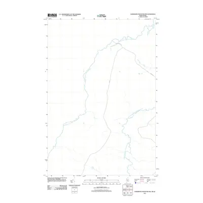
2011 · Hardwood Mountain SW
USGS Topo · 1:24,000