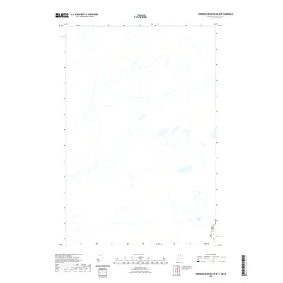
2021 Map of Hardwood Mountain SW OE W
USGS Topo · Published 2021About this map
The international frontier between Maine and Quebec defines the character of this region, where the Can Usa border follows a winding line through a landscape dominated by water and forest. The sheet shows a complex network of unnamed streams, ponds, and wetlands in Somerset County, Maine, adjacent to the Canadian province of Quebec. This specific area remains largely undeveloped, lacking the traditional infrastructure of towns, schools, or named roads. The drainage patterns and hydrography, sourced from the National Hydrography Dataset, indicate a rugged watershed that feeds into larger regional systems. The absence of named settlements or roads underscores the remote nature of this boundary land, making the precise demarcation of the international line the most significant geographical feature of the survey.
Find a feature on this map
1 named feature on this map. Tap any name to fly to it.
Don’t see what you’re looking for? This feature index may not catch every label — zoom into the map to look around manually.
Map Details
Editions of this 2021 Hardwood Mountain SW OE W Map
This is the sole edition of this map. No revisions or reprints were ever made.
Other maps of this area

1957 · Norris Brook
USGS Topo · 1:62,500

1957 · Hardwood Mountain
USGS Topo · 1:62,500

1957 · Saint Zacharie
USGS Topo · 1:62,500

1962 · Quebec
USGS Topo · 1:250,000
1986 · Lac Etchemin
USGS Topo · 1:100,000
1989 · Black Brook
USGS Topo · 1:24,000
1989 · Hardwood Mountain SW
USGS Topo · 1:24,000
1989 · St. Zacharie North
USGS Topo · 1:24,000
1993 · Lac Etchemin
USGS Topo · 1:100,000
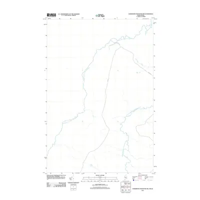
2011 · Hardwood Mountain SW
USGS Topo · 1:24,000