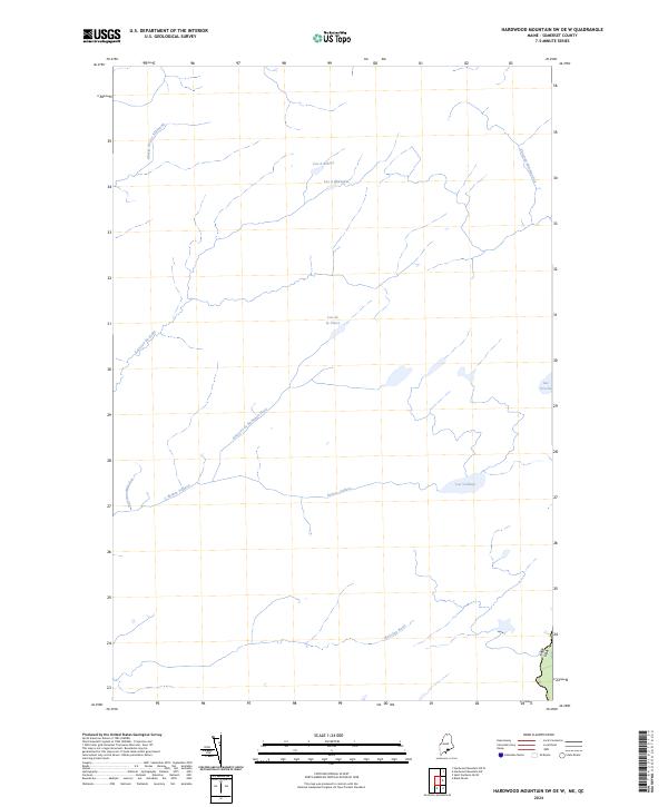
2024 Map of Hardwood Mountain SW OE W
USGS Topo · Published 2024About this map
The international border between Can Usa defines the southeastern edge of this landscape in Somerset County, where the hydrology flows through a dense network of lakes and brooks. This specific survey captures the intricate drainage patterns of the upper Rivière Veilleux and its tributaries, including Ruisseau de Ravignan-Nord and Ruisseau-Beaudoin. The interior is marked by several significant water bodies such as Lac Veilleux, Lac de la Veuve, and Lac à Robert, reflecting the glaciated terrain of this borderland region. The nomenclature is distinctly French-Canadian, seen in features like the Charge du Lac Algonquin and Ruisseau du Brûlé, illustrating the cultural and geographical continuity across the boundary line. For those studying the remote hydrological networks and border landmarks of northern Maine, this map provides precise locations for remote brooks and lakes such as Lac Croche and Ruisseau Morning Sud.
Find a feature on this map
13 named features on this map. Tap any name to fly to it.
Don’t see what you’re looking for? This feature index may not catch every label — zoom into the map to look around manually.
Map Details
Editions of this 2024 Hardwood Mountain SW OE W Map
This is the sole edition of this map. No revisions or reprints were ever made.
Other maps of this area

1957 · Norris Brook
USGS Topo · 1:62,500

1957 · Hardwood Mountain
USGS Topo · 1:62,500

1957 · Saint Zacharie
USGS Topo · 1:62,500

1962 · Quebec
USGS Topo · 1:250,000
1986 · Lac Etchemin
USGS Topo · 1:100,000
1989 · Black Brook
USGS Topo · 1:24,000
1989 · Hardwood Mountain SW
USGS Topo · 1:24,000
1989 · St. Zacharie North
USGS Topo · 1:24,000
1993 · Lac Etchemin
USGS Topo · 1:100,000
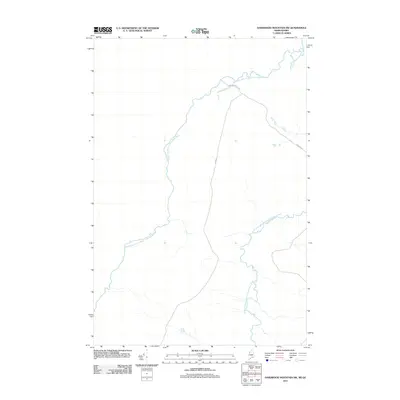
2011 · Hardwood Mountain SW
USGS Topo · 1:24,000