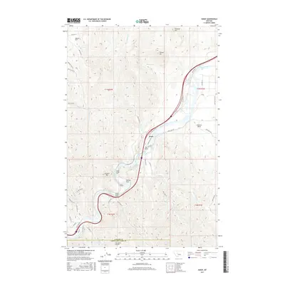
2017 Map of Hardy
USGS Topo · Published 2017About this map
The Missouri River carves a dominant path through this portion of Montana, dictating the infrastructure and settlement patterns around the small community of Hardy. Historically significant river navigation is evident through several named white-water sections, including Lone Pine Rapids, Pine Island Rapids, and Henrikens Rapids. The rugged canyon environment necessitated complex engineering, shown here by Tunnel Number 1 and crossings like Hardy Bridge and Novak Creek Bridge.
Find a feature on this map
53 named features on this map. Tap any name to fly to it.
Don’t see what you’re looking for? This feature index may not catch every label — zoom into the map to look around manually.
Map Details
Editions of this 2017 Hardy Map
This is the sole edition of this map. No revisions or reprints were ever made.
Other maps of this area

1886 · Great Falls
USGS Topo · 1:250,000

1949 · Cascade
USGS Topo · 1:62,500

1951 · Cascade
USGS Topo · 1:62,500

1954 · Great Falls
USGS Topo · 1:250,000

1957 · Great Falls
USGS Topo · 1:250,000

1960 · Simms
USGS Topo · 1:62,500

1961 · Craig
USGS Topo · 1:24,000

1961 · Hardy
USGS Topo · 1:24,000

1961 · Hound Creek Reservoir
USGS Topo · 1:24,000

1961 · Rocky Reef
USGS Topo · 1:24,000