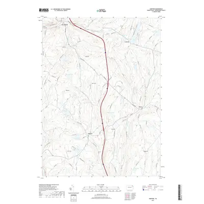
2019 Map of Harford
USGS Topo · Published 2019About this map
The hills of Susquehanna County define the landscape of Harford, where the high ground of Jones Hill and Wolf Hill overlooks a network of glaciated basins and winding creeks. This 2019 survey captures the modern rural character of the township, anchored by the historic settlement at Harford and the village of Gibson to the east. The terrain is notably water-rich, featuring a concentration of named bodies including Tingley Lake, Page Lake, and Blanding Lake, alongside smaller waters like Gillespies Pond and Polk Pond. Local history and aviation roots are marked by the Peck Cem and two small airfields, Tyler Airport and MSM Airport. The mapping of roads such as Great Bend Tpke and Upper Podunk Rd reflects the persistence of early transport corridors that continue to link these upland communities and their surrounding dairy-country watersheds like Nine Partners Cr and Butler Cr.
Find a feature on this map
82 named features on this map. Tap any name to fly to it.
Don’t see what you’re looking for? This feature index may not catch every label — zoom into the map to look around manually.
Map Details
Editions of this 2019 Harford Map
This is the sole edition of this map. No revisions or reprints were ever made.
Other maps of this area

1892 · Dundaff
USGS Topo · 1:62,500

1932 · Susquehanna
USGS Topo · 1:62,500

1935 · Susquehanna
USGS Topo · 1:62,500

1943 · Montrose
USGS Topo · 1:62,500

1945 · Montrose
USGS Topo · 1:62,500

1946 · Tunkhannock
USGS Topo · 1:62,500
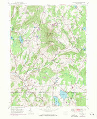
1946 · Clifford
USGS Topo · 1:24,000

1946 · Hop Bottom
USGS Topo · 1:24,000
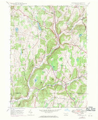
1946 · Lenoxville
USGS Topo · 1:24,000

1947 · Hopbottom
USGS Topo · 1:24,000