
1919 Map of Harlan
USGS Topo · Published 1919About this map
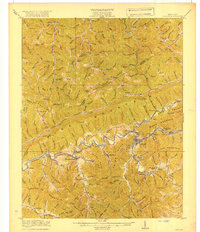
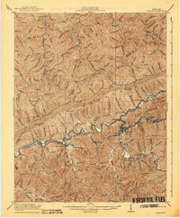
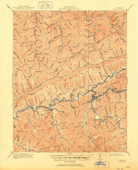
The Cumberland River and its major tributary, the Poor Fork, carve through the heart of the Cumberland Mountains, defining the development of this coal-rich region during the early twentieth century. The Louisville and Nashville Railroad parallels these waterways, serving as the industrial backbone for a string of company towns and settlements including Wallins Creek, Kitts, Coxton, and the county seat of Harlan.
Find a feature on this map
109 named features on this map. Tap any name to fly to it.
Don’t see what you’re looking for? This feature index may not catch every label — zoom into the map to look around manually.
Map Details
Editions of this 1919 Harlan Map
4 editions found
Other maps of this area

1886 · Cumberland Gap
USGS Topo · 1:125,000

1887 · Jonesville
USGS Topo · 1:125,000

1888 · Cumberland Gap
USGS Topo · 1:125,000

1891 · Manchester
USGS Topo · 1:125,000

1891 · Cumberland Gap
USGS Topo · 1:125,000

1891 · Hazard
USGS Topo · 1:125,000

1891 · Jonesville
USGS Topo · 1:125,000

1903 · Harlan
USGS Topo · 1:48,000

1903 · Pineville
USGS Topo · 1:48,000

1903 · Middlesboro
USGS Topo · 1:48,000