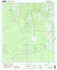
1982 Map of Harleston
USGS Topo · Published 1982About this map
The Pascagoula River State Wildlife Management Area anchors the western edge of this Jackson County landscape, where the Pascagoula River forms a complex network of sloughs and islands. Honey Island and Parkers Island sit amidst a labyrinth of waterways including Files Slough and Black Slough, illustrating the dynamic nature of the river bottomlands. This 1982 survey captures the rural character of the region as it transitioned through the late 1970s, documented through its scattered settlements and local institutions.
Find a feature on this map
54 named features on this map. Tap any name to fly to it.
Don’t see what you’re looking for? This feature index may not catch every label — zoom into the map to look around manually.
Map Details
Editions of this 1982 Harleston Map
2 editions found
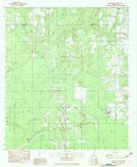
Other maps of this area

1941 · Hurley
USGS Topo · 1:62,500

1941 · Vancleave
USGS Topo · 1:62,500

1941 · Lucedale
USGS Topo · 1:62,500

1942 · Wilmer
USGS Topo · 1:62,500

1943 · Lucedale
USGS Topo · 1:62,500

1943 · Hurley
USGS Topo · 1:62,500

1943 · Vancleave
USGS Topo · 1:62,500

1944 · Wilmer
USGS Topo · 1:62,500

1944 · Vancleave
USGS Topo · 1:62,500

1953 · Mobile
USGS Topo · 1:250,000