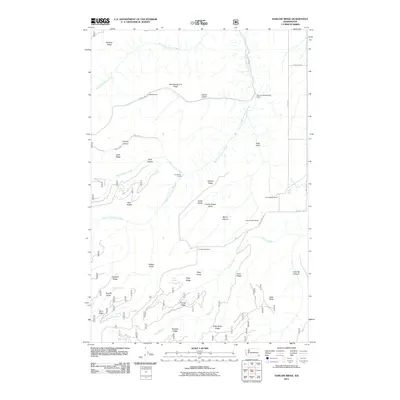
2011 Map of Harlow Ridge
USGS Topo · Published 2011About this map
Black Ranch and the Raymond Blankenship Ranch anchor the northern reaches of this landscape, illustrating the persistent ranching heritage of Asotin County. The terrain is defined by a series of steep, dramatic drainages including Dark Canyon and Warner Gulch that feed into the arterial South Fork Asotin Creek. The map documents a network of named rangelands such as the Charlie Knight Ranch and E A Parsons Ranch, showing how family holdings were carved out among the prominent topographical features of Harlow Ridge and Smoothing Iron Ridge. A system of springs, such as Sheriff Spring and Vogan Spring, provides critical water sources in an otherwise high-elevation environment, supporting the livestock operations that have long defined this portion of the Pacific Northwest.
Find a feature on this map
46 named features on this map. Tap any name to fly to it.
Don’t see what you’re looking for? This feature index may not catch every label — zoom into the map to look around manually.
Map Details
Editions of this 2011 Harlow Ridge Map
This is the sole edition of this map. No revisions or reprints were ever made.
Other maps of this area

1943 · Peola
USGS Topo · 1:62,500

1943 · Saddle Butte
USGS Topo · 1:62,500

1944 · Anatone
USGS Topo · 1:62,500

1945 · Clarkston
USGS Topo · 1:62,500

1946 · Saddle Butte
USGS Topo · 1:62,500

1946 · Peola
USGS Topo · 1:62,500

1946 · Anatone
USGS Topo · 1:62,500

1948 · Clarkston
USGS Topo · 1:62,500

1955 · Pullman
USGS Topo · 1:250,000

1958 · Pullman
USGS Topo · 1:250,000