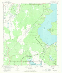
1967 Map of Harmaston
USGS Topo · Published 1969About this map
Lake Houston dominates the eastern landscape of this 1967 Harris County survey, reflecting a period of significant water infrastructure development near Houston's corporate limits. To the south, Sheldon Reservoir and the Sheldon Wildlife Management Area demonstrate the transition of regional marshlands into managed conservation and utility zones. The presence of the Humble Oil Field and the Alco Magnolia Oil Field underscores the industrial legacy of the area, where petroleum extraction shaped the early 20th-century economy.
Find a feature on this map
33 named features on this map. Tap any name to fly to it.
Don’t see what you’re looking for? This feature index may not catch every label — zoom into the map to look around manually.
Map Details
Editions of this 1967 Harmaston Map
2 editions found
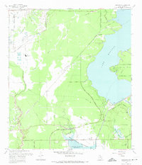
Other maps of this area

1916 · Burnett Bay
USGS Topo · 1:24,000

1916 · Crosby
USGS Topo · 1:24,000

1916 · Settegast
USGS Topo · 1:24,000

1916 · Fauna
USGS Topo · 1:24,000

1916 · Harmaston
USGS Topo · 1:24,000

1916 · Moonshine Hill
USGS Topo · 1:24,000

1916 · Huffman
USGS Topo · 1:24,000

1916 · Humble
USGS Topo · 1:24,000

1919 · Humble
USGS Topo · 1:31,680

1919 · Weeden
USGS Topo · 1:31,680