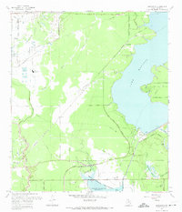
1967 Map of Harmaston
USGS Topo · Published 1967About this map
Lake Houston and its western shoreline define this 1967 landscape, where heavy industry and water management intersect with growing coastal suburbs. The presence of the Riverside Oil Field and Alco Magnolia Oil Field highlights the region's petroleum-driven economy, while the sprawling Sheldon Reservoir and its associated Sheldon Wildlife Management Area dominate the southern portion of the sheet. Transportation is anchored by the Missouri Pacific Railroad, which connects the small settlements of Harmaston and Victor. Local history details abound, from the Jacinto Cem near the Lake Houston Parkway to the Humble High Sch and a local Fairground in the northwest. The map captures the infrastructure of the era, including multiple pipelines, the Intake Tower, and the San Jacinto Dam, reflecting the complex engineering required to support the expanding Houston corporate boundary.
Find a feature on this map
40 named features on this map. Tap any name to fly to it.
Don’t see what you’re looking for? This feature index may not catch every label — zoom into the map to look around manually.
Map Details
Editions of this 1967 Harmaston Map
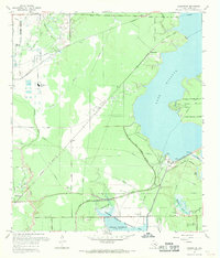
2 editions found
Other maps of this area

1916 · Burnett Bay
USGS Topo · 1:24,000

1916 · Crosby
USGS Topo · 1:24,000

1916 · Settegast
USGS Topo · 1:24,000

1916 · Fauna
USGS Topo · 1:24,000

1916 · Harmaston
USGS Topo · 1:24,000

1916 · Moonshine Hill
USGS Topo · 1:24,000

1916 · Huffman
USGS Topo · 1:24,000

1916 · Humble
USGS Topo · 1:24,000

1919 · Humble
USGS Topo · 1:31,680

1919 · Weeden
USGS Topo · 1:31,680