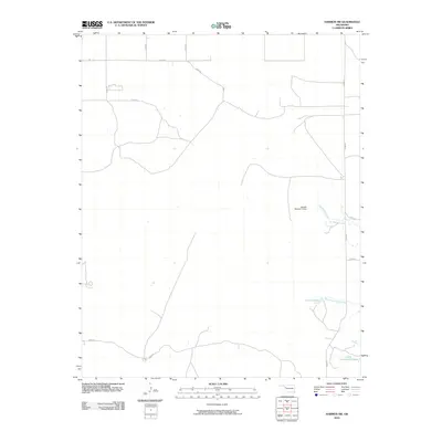
2010 Map of Harmon SW
USGS Topo · Published 2010About this map
Hackberry Creek and its tributary, West Hackberry Creek, carve a subtle drainage system through this portion of Ellis County. The landscape is defined by its agrarian utility, where a network of section line roads like n1840 RD and e0620 RD provide access to the wide-open plains of western Oklahoma. Water management is a primary feature of the local geography, evidenced by man-made impoundments such as Carlton Lake and the Jantzen Number 2 Dam. In the southeastern corner, Little Cottonwood Lake stands as a notable landmark in a region where water resources are carefully preserved. This 2010 survey reflects a period of established rural infrastructure, showing the precise alignment of local routes and the scattered placement of farmstead ponds that support the area's agricultural life.
Find a feature on this map
16 named features on this map. Tap any name to fly to it.
Don’t see what you’re looking for? This feature index may not catch every label — zoom into the map to look around manually.
Map Details
Editions of this 2010 Harmon SW Map
This is the sole edition of this map. No revisions or reprints were ever made.
Other maps of this area

1955 · Clinton
USGS Topo · 1:250,000

1955 · Woodward
USGS Topo · 1:250,000

1957 · Clinton
USGS Topo · 1:250,000

1958 · Woodward
USGS Topo · 1:250,000

1965 · Roll NE
USGS Topo · 1:24,000

1965 · Roll NW
USGS Topo · 1:24,000

1966 · Antelope Hills NE
USGS Topo · 1:24,000

1970 · Arnett
USGS Topo · 1:24,000

1970 · Harmon
USGS Topo · 1:24,000

1970 · Arnett SE
USGS Topo · 1:24,000