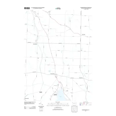
2013 Map of Harmonsburg
USGS Topo · Published 2013About this map
The waters of Conneaut Lake and the nearby Clearwater Lake anchor this portion of Crawford County, where the agricultural landscape is shaped by the legacy of early 19th-century infrastructure. The course of the Erie Extension Canal remains a visible signature on the terrain, winding southward through Harmonsburg toward Shermansville. This waterway once linked the Ohio River to Lake Erie, and its corridor today dictates the layout of local roads and property lines.
Find a feature on this map
80 named features on this map. Tap any name to fly to it.
Don’t see what you’re looking for? This feature index may not catch every label — zoom into the map to look around manually.
Map Details
Editions of this 2013 Harmonsburg Map
This is the sole edition of this map. No revisions or reprints were ever made.
Other maps of this area

1900 · Girard
USGS Topo · 1:62,500

1906 · Linesville
USGS Topo · 1:62,500

1908 · Linesville
USGS Topo · 1:62,500

1923 · Meadville
USGS Topo · 1:62,500

1923 · Cambridge Springs
USGS Topo · 1:62,500

1925 · Meadville
USGS Topo · 1:62,500

1925 · Cambridge Springs
USGS Topo · 1:62,500

1943 · Meadville
USGS Topo · 1:62,500

1943 · Cambridge Springs
USGS Topo · 1:62,500

1950 · Cleveland
USGS Topo · 1:250,000