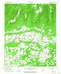
1963 Map of Harmony
USGS Topo · Published 1964About this map
The Ozark National Forest dominates the northern half of this landscape, where the dramatic elevation of Chinquapin Ridge and Low Gap Ridge drops toward the valley floors. Settled life in the early 1960s was concentrated along the southern corridor, particularly in the community of Harmony and the nearby Woodland area. The presence of numerous family-named burial grounds, such as Pryor Cem, Naylor Cem, and Ogilbie Cem, reflects a deep ancestral tie to the land, while several small country churches like Lone Pine Ch and Bethlehem Ch served as local social anchors.
Find a feature on this map
45 named features on this map. Tap any name to fly to it.
Don’t see what you’re looking for? This feature index may not catch every label — zoom into the map to look around manually.
Map Details
Editions of this 1963 Harmony Map
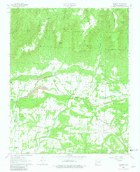
2 editions found
Other maps of this area

1887 · Magazine Mountain #1
USGS Topo · 1:62,500

1887 · Magazine Mountain
USGS Topo · 1:62,500

1888 · Dardanelle #2
USGS Topo · 1:62,500

1889 · Ozone
USGS Topo · 1:62,500

1890 · Magazine Mountain
USGS Topo · 1:125,000

1890 · Dardanelle
USGS Topo · 1:125,000

1906 · Batson
USGS Topo · 1:62,500

1934 · Ozone
USGS Topo · 1:62,500

1936 · Ozone
USGS Topo · 1:62,500

1956 · Russellville
USGS Topo · 1:250,000