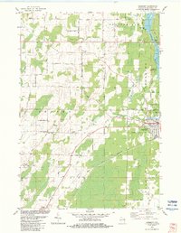
1982 Map of Harmony
USGS Topo · Published 1983About this map
The Peshtigo River winds through the eastern portion of this Marinette County landscape, powering the local economy via the Potato Rapids Dam and its adjacent Powerplant. In the early 1980s, the region was defined by a mix of agricultural smallholdings and industrial activity, evidenced by the numerous Gravel Pit locations and the heavy rail presence of the Chicago and North Western line.
Find a feature on this map
46 named features on this map. Tap any name to fly to it.
Don’t see what you’re looking for? This feature index may not catch every label — zoom into the map to look around manually.
Map Details
Editions of this 1982 Harmony Map
This is the sole edition of this map. No revisions or reprints were ever made.
Other maps of this area
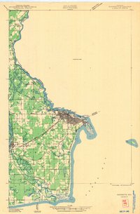
1939 · Marinette
USGS Topo · 1:48,000
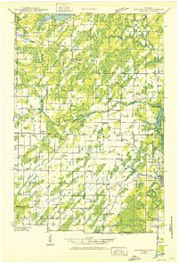
1939 · Porterfield
USGS Topo · 1:48,000
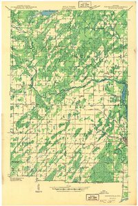
1942 · Porterfield
USGS Topo · 1:48,000

1954 · Escanaba
USGS Topo · 1:250,000

1954 · Manitowoc
USGS Topo · 1:250,000
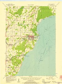
1956 · Oconto
USGS Topo · 1:62,500

1957 · Escanaba
USGS Topo · 1:250,000

1958 · Escanaba
USGS Topo · 1:250,000

1958 · Manitowoc
USGS Topo · 1:250,000
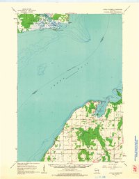
1961 · Little Sturgeon
USGS Topo · 1:62,500