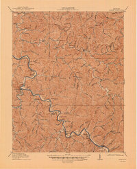
1916 Map of Harold
USGS Topo · Published 1947About this map
The Levisa Fork carves a winding path through this eastern Kentucky landscape, serving as the primary corridor for commerce and settlement during the early twentieth century. Along its banks, the Chesapeake and Ohio railroad tracks follow the river's curves, connecting mountain hamlets like Ivel, Tram, and Boldman. This 1914 survey captures a moment when education and communication were localized, evidenced by the high density of numbered schoolhouses and small post offices such as Woods Emma PO and Allen PO.
Find a feature on this map
106 named features on this map. Tap any name to fly to it.
Don’t see what you’re looking for? This feature index may not catch every label — zoom into the map to look around manually.
Map Details
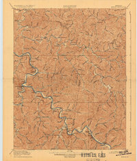
Editions of this 1916 Harold Map
3 editions found

Other maps of this area

1886 · Prestonsburg
USGS Topo · 1:125,000

1886 · Grundy
USGS Topo · 1:125,000

1887 · Warfield
USGS Topo · 1:125,000

1890 · Whitesburg
USGS Topo · 1:125,000

1890 · Grundy
USGS Topo · 1:125,000

1891 · Warfield
USGS Topo · 1:125,000

1892 · Grundy
USGS Topo · 1:125,000

1892 · Whitesburg
USGS Topo · 1:125,000

1892 · Prestonsburg
USGS Topo · 1:125,000

1910 · Naugatuck
USGS Topo · 1:48,000