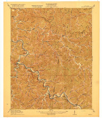
1916 Map of Harold
USGS Topo · Published 1931About this map
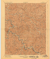
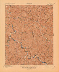
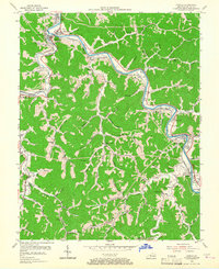
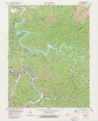
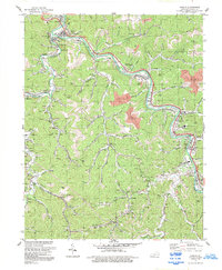
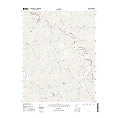
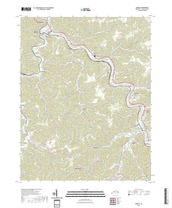
Johns Creek and the meandering river valleys of eastern Kentucky define the landscape of this 1914 survey, which documents a network of small mountain settlements and post offices during the early twentieth century. The map highlights the educational infrastructure of the period, from numerous rural outposts like School No 12 to the centrally located Sandy Valley Normal School. These institutions served dispersed communities such as Laynesville, Dana, and Thomas, which were often connected by creek-side paths and mountain gaps.
Find a feature on this map
89 named features on this map. Tap any name to fly to it.
Don’t see what you’re looking for? This feature index may not catch every label — zoom into the map to look around manually.
Map Details
Editions of this 1916 Harold Map
3 editions found
Historical Maps of Pikeville Through Time
20 maps found

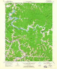
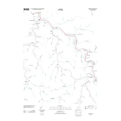
1914 Laynesville
Floyd County, KY
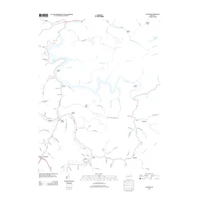
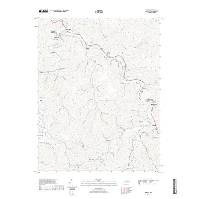
1916 Harold
Floyd County, KY
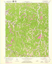
1954 Harold
Floyd County, KY
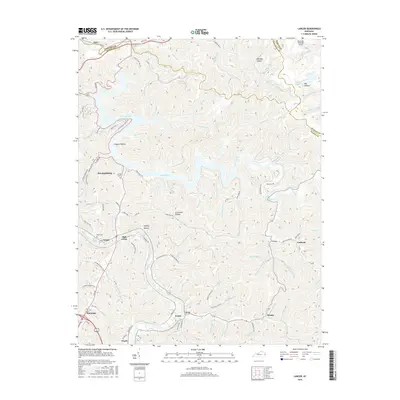
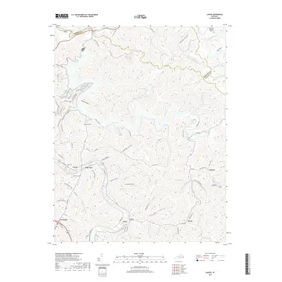
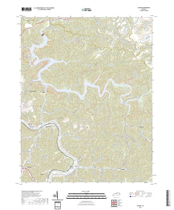
1954 Lancer
Floyd County, KY
1954 Mc Dowell
Floyd County, KY
1978 Lancer
Floyd County, KY
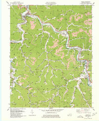
1979 Harold
Floyd County, KY
1992 Harold
Floyd County, KY

1992 Lancer
Floyd County, KY
1992 Mc Dowell
Floyd County, KY
2010 Harold
Floyd County, KY
2010 Lancer
Floyd County, KY
2013 Harold
Floyd County, KY
2013 Lancer
Floyd County, KY
2016 Harold
Floyd County, KY
2016 Lancer
Floyd County, KY
2019 Harold
Floyd County, KY
2019 Lancer
Floyd County, KY
2022 Harold
Floyd County, KY
2023 Lancer
Floyd County, KY