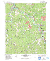
1954 Map of Mc Dowell
USGS Topo · Published 1979About this map
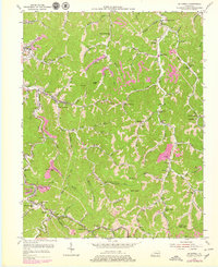
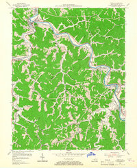
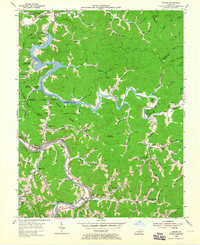
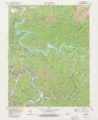
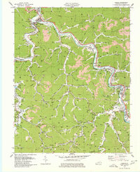
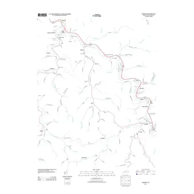
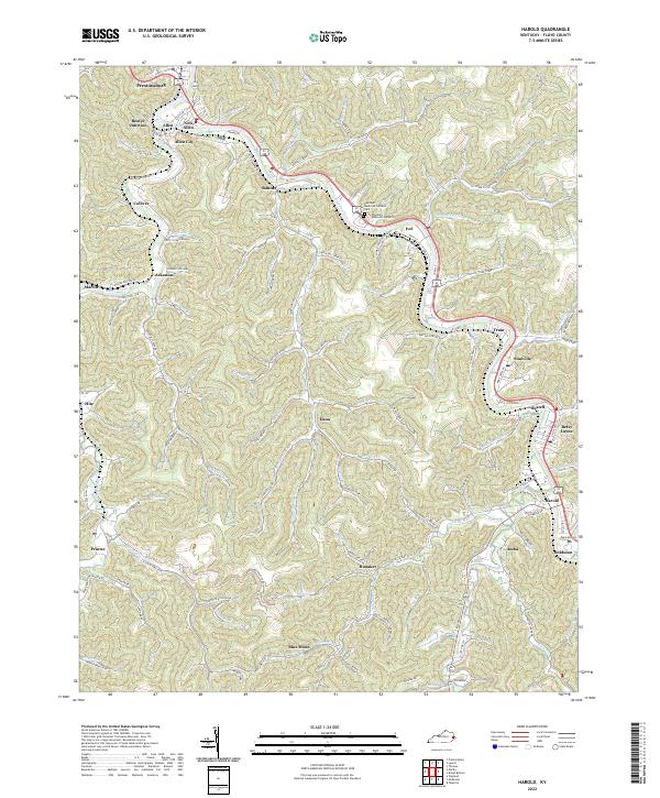
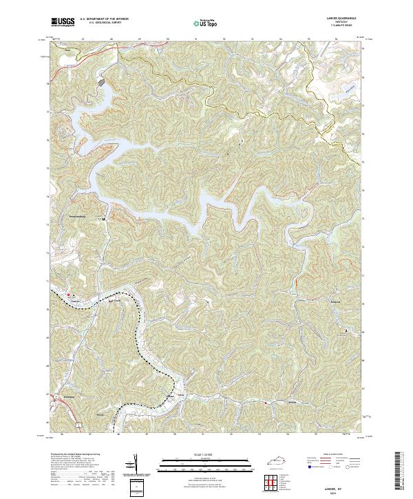
McDowell and East McDowell serve as central hubs in this mid-century survey of the Eastern Kentucky Coalfield, where the landscape is defined by the winding paths of Beaver Creek and its many tributaries. The area's industrial character is rooted in the Strip Mines and coal company operations that informed the original topography, supported by the Chesapeake and Ohio RR running through the southern reaches. Numerous small mountain communities are connected by a network of local institutions, including schools like Grethel Sch and Teaberry Sch, and places of worship such as Samaria Ch. The high terrain is punctuated by landmarks like the Mud Creek Lookout Tower and Signal Knob, while the intricate topography of hollows and forks—such as Stonecoal Hollow and Branham Fork—reveals the traditional settlement patterns of Floyd Co and Pike Co before modern development altered these steep valleys.
Find a feature on this map
96 named features on this map. Tap any name to fly to it.
Don’t see what you’re looking for? This feature index may not catch every label — zoom into the map to look around manually.
Map Details
Editions of this 1954 Mc Dowell Map
Historical Maps of East McDowell Through Time
20 maps found

1914 Laynesville
Floyd County, KY
1916 Harold
Floyd County, KY
1954 Harold
Floyd County, KY
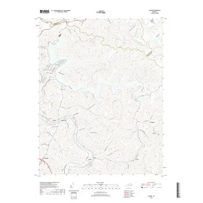
1954 Lancer
Floyd County, KY
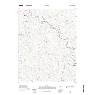
1954 Mc Dowell
Floyd County, KY
1978 Lancer
Floyd County, KY
1979 Harold
Floyd County, KY
1992 Harold
Floyd County, KY

1992 Lancer
Floyd County, KY
1992 Mc Dowell
Floyd County, KY
2010 Harold
Floyd County, KY
2010 Lancer
Floyd County, KY
2013 Harold
Floyd County, KY
2013 Lancer
Floyd County, KY
2016 Harold
Floyd County, KY
2016 Lancer
Floyd County, KY
2019 Harold
Floyd County, KY
2019 Lancer
Floyd County, KY
2022 Harold
Floyd County, KY
2023 Lancer
Floyd County, KY