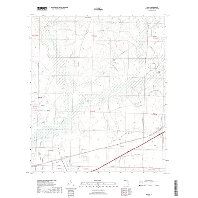
2018 Map of Harold
USGS Topo · Published 2018About this map
Indian Ford and the surrounding pine-dominated wetlands of Santa Rosa County are documented here in 2018. This landscape is defined by the winding course of the Blackwater River, which is joined by numerous tributaries including Big Coldwater Creek and Big Juniper Creek. The map reveals a mosaic of basin swamps and riverine lakes, such as Double Bluff Lake, Half Moon Lake, and the expansive Clear Basin. These water bodies and the elevated High Bluff north of the river suggest a dynamic hydrologic environment where floodplains and uplands meet.
Find a feature on this map
100 named features on this map. Tap any name to fly to it.
Don’t see what you’re looking for? This feature index may not catch every label — zoom into the map to look around manually.
Map Details
Editions of this 2018 Harold Map
This is the sole edition of this map. No revisions or reprints were ever made.
Other maps of this area

1920 · Milton
USGS Topo · 1:62,500

1934 · Harold
USGS Topo · 1:62,500

1937 · Harold
USGS Topo · 1:62,500

1938 · Harold
USGS Topo · 1:62,500

1941 · Milton
USGS Topo · 1:62,500

1943 · Milton
USGS Topo · 1:62,500

1943 · Jay
USGS Topo · 1:62,500

1948 · Munson
USGS Topo · 1:62,500

1950 · Munson
USGS Topo · 1:62,500

1957 · Pensacola
USGS Topo · 1:250,000