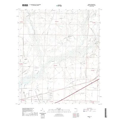
2021 Map of Harold
USGS Topo · Published 2021About this map
The Blackwater River snakes through this Santa Rosa County landscape, defining a complex system of bottomlands and basins. Several distinct settlement points are visible, including the community of Indian Ford and the smaller enclave at Roeville. The topography is marked by significant water features such as Double Bluff Lake and the interconnected Holley Ponds, while larger depressions like Cooper Basin and Manning Basin suggest the characteristic wet prairies of the Florida panhandle.
Find a feature on this map
101 named features on this map. Tap any name to fly to it.
Don’t see what you’re looking for? This feature index may not catch every label — zoom into the map to look around manually.
Map Details
Editions of this 2021 Harold Map
This is the sole edition of this map. No revisions or reprints were ever made.
Other maps of this area

1920 · Milton
USGS Topo · 1:62,500

1934 · Harold
USGS Topo · 1:62,500

1937 · Harold
USGS Topo · 1:62,500

1938 · Harold
USGS Topo · 1:62,500

1941 · Milton
USGS Topo · 1:62,500

1943 · Milton
USGS Topo · 1:62,500

1943 · Jay
USGS Topo · 1:62,500

1948 · Munson
USGS Topo · 1:62,500

1950 · Munson
USGS Topo · 1:62,500

1957 · Pensacola
USGS Topo · 1:250,000