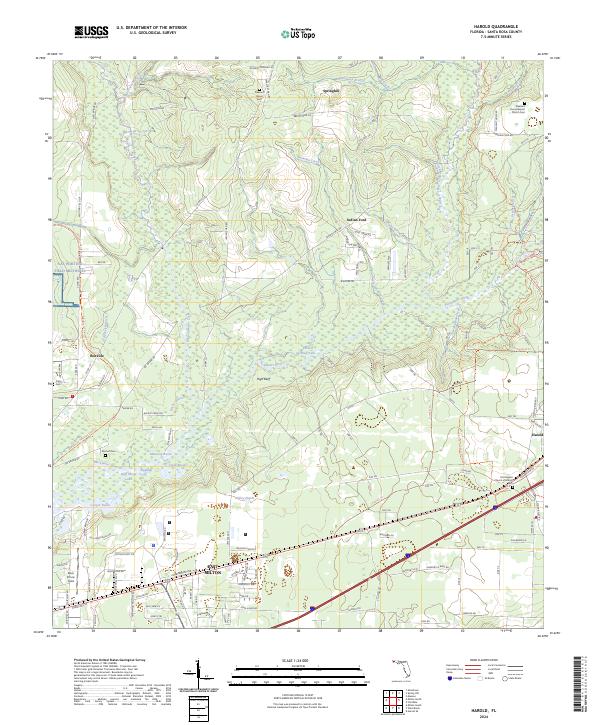
2024 Map of Harold
USGS Topo · Published 2024About this map
The Blackwater River and its intricate network of tributaries, including Coldwater Creek and Ninemile Creek, dominate this survey of the Florida panhandle. The terrain transitions from the elevations of High Bluff to the low-lying basins of Cooper Basin and Manning Basin, where Half Moon Lake and Double Bluff Lake sit. Military and aviation history is deeply rooted here, anchored by the sprawling NAS Whiting Field Milton FL and the nearby Peter Prince Field.
Find a feature on this map
153 named features on this map. Tap any name to fly to it.
Don’t see what you’re looking for? This feature index may not catch every label — zoom into the map to look around manually.
Map Details
Editions of this 2024 Harold Map
This is the sole edition of this map. No revisions or reprints were ever made.
Other maps of this area

1920 · Milton
USGS Topo · 1:62,500

1934 · Harold
USGS Topo · 1:62,500

1937 · Harold
USGS Topo · 1:62,500

1938 · Harold
USGS Topo · 1:62,500

1941 · Milton
USGS Topo · 1:62,500

1943 · Milton
USGS Topo · 1:62,500

1943 · Jay
USGS Topo · 1:62,500

1948 · Munson
USGS Topo · 1:62,500

1950 · Munson
USGS Topo · 1:62,500

1957 · Pensacola
USGS Topo · 1:250,000