
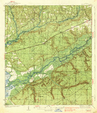
1938 Map of Harold
USGS Topo · Published 1938About this map
The Choctawhatchee National Forest dominates this 1930s landscape, where the Blackwater River and Yellow River carve intricate paths through the Florida panhandle. This era shows a region defined by its timber and river economy, with numerous landings such as Flowers Field Landing, Center Fait Landing, and Butter Landing serving as vital transit points. The Louisville and Nashville Railroad cuts an east-west path through the center of the map, anchoring the settlements of Harold and Holt.
Find a feature on this map
78 named features on this map. Tap any name to fly to it.
Don’t see what you’re looking for? This feature index may not catch every label — zoom into the map to look around manually.
Map Details
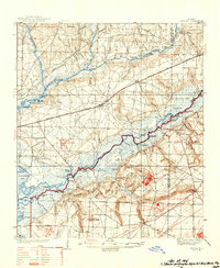
Editions of this 1938 Harold Map
4 editions found

Other maps of this area

1920 · Milton
USGS Topo · 1:62,500

1921 · Holley
USGS Topo · 1:62,500

1921 · Pensacola
USGS Topo · 1:62,500

1934 · Holt
USGS Topo · 1:48,000

1934 · Harold
USGS Topo · 1:62,500

1936 · Holley
USGS Topo · 1:48,000

1937 · Holt
USGS Topo · 1:62,500

1937 · Harold
USGS Topo · 1:62,500

1938 · Mary Esther
USGS Topo · 1:62,500

1938 · Holley
USGS Topo · 1:62,500