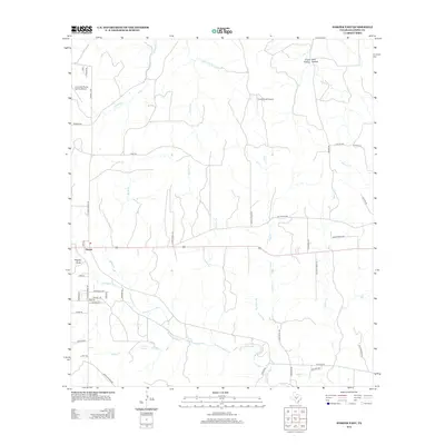
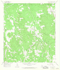
2012 Map of Harper East
USGS Topo · Published 2012About this map
Harper serves as the focal point for this section of Gillespie County, situated where Ranch Road 783 intersects with the corridor leading toward Fredericksburg. The landscape is defined by the winding course of the Pedernales River, which flows across the lower portion of the map, fed by numerous seasonal tributaries such as Flag Cr and Stuckens Br. The terrain is characterized by distinct Texas Hill Country landforms, including Priess Hollow, Drill Hollow, and Rogers Draw. Aviation presence is notable in this rural expanse, with both the Lone Star Flying Service Airport and the Circle Ranch Airport situated north of the main settlement. Local water sources like Pecan Spring and Pecan Cr illustrate the drainage patterns that have shaped land use and ranching in the area for generations.
Find a feature on this map
54 named features on this map. Tap any name to fly to it.
Don’t see what you’re looking for? This feature index may not catch every label — zoom into the map to look around manually.
Map Details
Editions of this 2012 Harper East Map
This is the sole edition of this map. No revisions or reprints were ever made.
Other maps of this area

1894 · Kerrville
USGS Topo · 1:125,000

1954 · Llano
USGS Topo · 1:250,000

1955 · Llano
USGS Topo · 1:250,000

1956 · Llano
USGS Topo · 1:250,000

1964 · Morris Ranch
USGS Topo · 1:24,000

1964 · Nott Branch
USGS Topo · 1:24,000
1964 · Mountain Home
USGS Topo · 1:24,000
1967 · Harper East
USGS Topo · 1:24,000
1967 · Doss
USGS Topo · 1:24,000
1967 · Cherry Spring
USGS Topo · 1:24,000