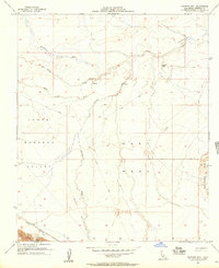
1956 Map of Harpers Well
USGS Topo · Published 1957About this map
Harpers Well stands as a focal point in this arid landscape where desert hydrology dictated the location of early travel routes. Situated at the convergence of several major drainage systems, including San Felipe Creek and Tarantula Wash, this area was a critical watering hole for travelers navigating the Lower Borrego Valley and West Mesa during the mid-20th century. The presence of the Old Kane Spring Road and numerous Jeep Trails underscores the region's importance for desert transit before modern infrastructure predominated.
Find a feature on this map
15 named features on this map. Tap any name to fly to it.
Don’t see what you’re looking for? This feature index may not catch every label — zoom into the map to look around manually.
Map Details
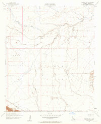
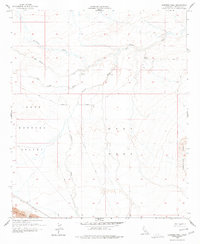
Editions of this 1956 Harpers Well Map
3 editions found
Other maps of this area

1915 · El Centro
USGS Topo · 1:125,000

1931 · Vallecito
USGS Topo · 1:125,000

1931 · Carrizo
USGS Topo · 1:125,000

1940 · Kane Spring
USGS Topo · 1:62,500

1940 · Plaster City
USGS Topo · 1:62,500

1942 · Barrel Spring
USGS Topo · 1:62,500

1942 · El Centro
USGS Topo · 1:250,000

1942 · Carrizo Mtn
USGS Topo · 1:62,500

1943 · Vallecito
USGS Topo · 1:125,000

1944 · Plaster City
USGS Topo · 1:62,500