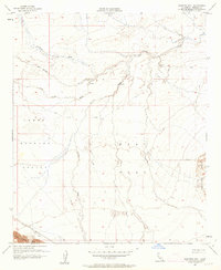
1956 Map of Harpers Well
USGS Topo · Published 1963About this map
Lower Borrego Valley and the arid expanse of West Mesa dominate this mid-century desert survey, where life and transit are defined by sparse water sources and rugged travel routes. The historic Harpers Well stands as a vital landmark in this landscape of shifting sands and seasonal drainage, connected to the surrounding territory by the Old Kane Spring Road and numerous primitive paths. The desert topography is deeply etched by the courses of San Felipe Creek, Carrizo Wash, and Tarantula Wash, while the Superstition Hills rise to the east.
Find a feature on this map
17 named features on this map. Tap any name to fly to it.
Don’t see what you’re looking for? This feature index may not catch every label — zoom into the map to look around manually.
Map Details
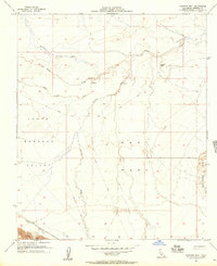
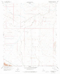
Editions of this 1956 Harpers Well Map
3 editions found
Other maps of this area

1915 · El Centro
USGS Topo · 1:125,000

1931 · Vallecito
USGS Topo · 1:125,000

1931 · Carrizo
USGS Topo · 1:125,000

1940 · Kane Spring
USGS Topo · 1:62,500

1940 · Plaster City
USGS Topo · 1:62,500

1942 · Barrel Spring
USGS Topo · 1:62,500

1942 · El Centro
USGS Topo · 1:250,000

1942 · Carrizo Mtn
USGS Topo · 1:62,500

1943 · Vallecito
USGS Topo · 1:125,000

1944 · Plaster City
USGS Topo · 1:62,500