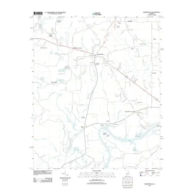
2011 Map of Harpersville
USGS Topo · Published 2011About this map
Lay Lake winds through the southern portion of this region, shaping the landscape near Cosper Bend and the surrounding islands, Smith Island and Prince Island. Further north, the settlement of Harpersville serves as a central hub, flanked by smaller crossroads including Gallups Crossroads and Chancellor Crossroads. The area is notably dense with family and local burial grounds, such as the Vincent Cemetery, Arkwright Cemetery, and the Wallace Cemeteries near Klein. These sites, along with landmarks like the Harpersville Post Office, provide a clear picture of the established community structure. The drainage patterns of Yellowleaf Creek and Tanyard Branch dominate the central terrain, while Moore Mountain rises to the northwest, overlooking several small reservoirs including Deerwood Lake and the Harpersville Lake system.
Find a feature on this map
114 named features on this map. Tap any name to fly to it.
Don’t see what you’re looking for? This feature index may not catch every label — zoom into the map to look around manually.
Map Details
Editions of this 2011 Harpersville Map
This is the sole edition of this map. No revisions or reprints were ever made.
Other maps of this area

1890 · Bessemer
USGS Topo · 1:125,000

1890 · Talladega
USGS Topo · 1:125,000

1892 · Talladega
USGS Topo · 1:125,000

1892 · Bessemer
USGS Topo · 1:125,000

1906 · Vandiver
USGS Topo · 1:62,500

1908 · Vandiver
USGS Topo · 1:62,500

1909 · Columbiana
USGS Topo · 1:62,500

1911 · Columbiana
USGS Topo · 1:62,500

1915 · Gantts Quarry
USGS Topo · 1:48,000

1917 · Gantts Quarry
USGS Topo · 1:62,500