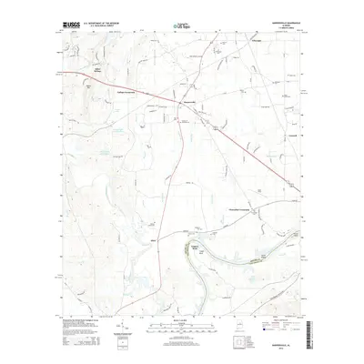
2014 Map of Harpersville
USGS Topo · Published 2014About this map
Harpersville serves as the central hub of this Shelby County landscape, situated where Highway 280 meets local routes like Tanyard Rd. The map reveals a high density of family and community burial grounds, such as Vincent Cem, Masters Cem, and the Wallace Cemeteries, which offer significant value for genealogical research in this part of Alabama. The eastern boundary is defined by the winding course of the Coosa River, where the landscape transitions into the waters of Lay Lake. This riverine environment is marked by distinct features like Smith Island and Cosper Bend, while the interior is crisscrossed by numerous tributaries including Yellowleaf Cr and Walthall Br. To the south, small communities like Klein and Chancellor Crossroads sit near the river, connected by historical routes like Chancellor Ferry Rd.
Find a feature on this map
104 named features on this map. Tap any name to fly to it.
Don’t see what you’re looking for? This feature index may not catch every label — zoom into the map to look around manually.
Map Details
Editions of this 2014 Harpersville Map
This is the sole edition of this map. No revisions or reprints were ever made.
Other maps of this area

1890 · Bessemer
USGS Topo · 1:125,000

1890 · Talladega
USGS Topo · 1:125,000

1892 · Talladega
USGS Topo · 1:125,000

1892 · Bessemer
USGS Topo · 1:125,000

1906 · Vandiver
USGS Topo · 1:62,500

1908 · Vandiver
USGS Topo · 1:62,500

1909 · Columbiana
USGS Topo · 1:62,500

1911 · Columbiana
USGS Topo · 1:62,500

1915 · Gantts Quarry
USGS Topo · 1:48,000

1917 · Gantts Quarry
USGS Topo · 1:62,500