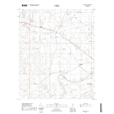
2020 Map of Harpersville
USGS Topo · Published 2020About this map
Harpersville and Wilsonville serve as key anchors in this Shelby County landscape, where the Coosa River drainage shapes the terrain via Yellowleaf Creek and the southern expanse of Lay Lake. The settlement pattern is defined by several rural junctions including Gallups Crossroads, Chancellor Crossroads, and Klein, each surrounded by a high density of family and community burial grounds such as Vincent Cem, Arkwright Cem, and the Bradford Cem. This 2020 record reflects the area's transition into the modern era while maintaining its established rural footprint, evidenced by the numerous cemeteries and small springs like Abbot Springs and Thompson Spring that have persisted through generations. The map provides clear detail of the Shelby and Talladega county line as it follows the path of the river through Cosper Bend, identifying local landmarks like Prince Island and Smith Island along the waterway.
Find a feature on this map
129 named features on this map. Tap any name to fly to it.
Don’t see what you’re looking for? This feature index may not catch every label — zoom into the map to look around manually.
Map Details
Editions of this 2020 Harpersville Map
This is the sole edition of this map. No revisions or reprints were ever made.
Other maps of this area

1890 · Bessemer
USGS Topo · 1:125,000

1890 · Talladega
USGS Topo · 1:125,000

1892 · Talladega
USGS Topo · 1:125,000

1892 · Bessemer
USGS Topo · 1:125,000

1906 · Vandiver
USGS Topo · 1:62,500

1908 · Vandiver
USGS Topo · 1:62,500

1909 · Columbiana
USGS Topo · 1:62,500

1911 · Columbiana
USGS Topo · 1:62,500

1915 · Gantts Quarry
USGS Topo · 1:48,000

1917 · Gantts Quarry
USGS Topo · 1:62,500