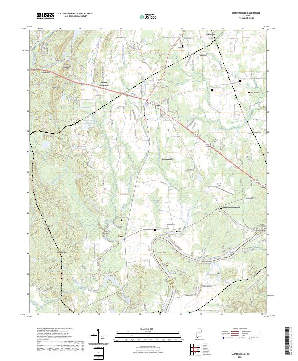
2024 Map of Harpersville
USGS Topo · Published 2024About this map
Harpersville and its surrounding communities are positioned in a landscape defined by the winding course of the Coosa River and Lay Lake along the eastern boundary. This area of Shelby County is characterized by a high density of small family and community burial grounds, including Kidd Cem, Arkwright Cem, and the Garden of Memories Cem, which serve as vital markers for genealogical research. The settlement pattern reflects a history of small agricultural hubs and intersections, such as Gallups Crossroads and Chancellor Crossroads, where local road networks converged.
Find a feature on this map
132 named features on this map. Tap any name to fly to it.
Don’t see what you’re looking for? This feature index may not catch every label — zoom into the map to look around manually.
Map Details
Editions of this 2024 Harpersville Map
This is the sole edition of this map. No revisions or reprints were ever made.
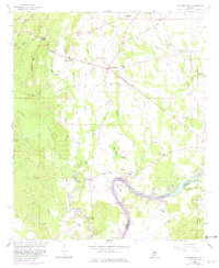
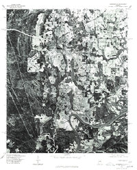
Historical Maps of Cospers Bend Through Time
3 maps found