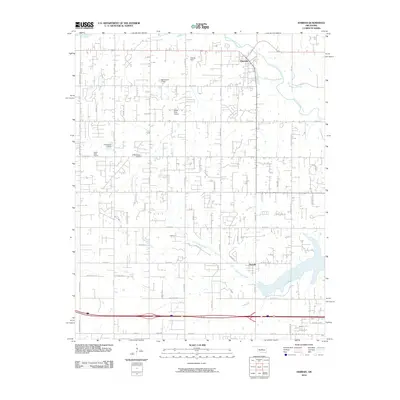
2010 Map of Harrah
USGS Topo · Published 2010About this map
Harrah and the community of Newalla anchor this central Oklahoma landscape along the North Canadian River. The area shows a transition from structured town grids to sprawling rural residential patterns, defined by a network of sectional roads such as Indian Meridian RD, N Peebly RD, and Pottawatomie RD. Water management is a visible priority across the terrain, with several small reservoirs like Oknoname 1 Dam and Oknoname 6 Dam dotting the drainages near North Deer Creek. Local landmarks like the World Bible Church and small private runways including Steciak Strip and Lower Forty Airport characterize the decentralized growth outside the main settlements. The southern portion of the quadrangle is marked by the presence of Osage Hill, while the interstate corridor provides modern connectivity across the historic prairie landscape.
Find a feature on this map
61 named features on this map. Tap any name to fly to it.
Don’t see what you’re looking for? This feature index may not catch every label — zoom into the map to look around manually.
Map Details
Editions of this 2010 Harrah Map
This is the sole edition of this map. No revisions or reprints were ever made.
Other maps of this area

1892 · Moore
USGS Topo · 1:62,500

1892 · Edmond
USGS Topo · 1:62,500

1898 · Purcell
USGS Topo · 1:125,000

1909 · Luther
USGS Topo · 1:62,500

1930 · McLoud
USGS Topo · 1:62,500

1934 · Moore
USGS Topo · 1:62,500

1935 · Edmond
USGS Topo · 1:48,000

1938 · Moore
USGS Topo · 1:62,500

1940 · Edmond
USGS Topo · 1:62,500

1954 · Oklahoma City
USGS Topo · 1:250,000