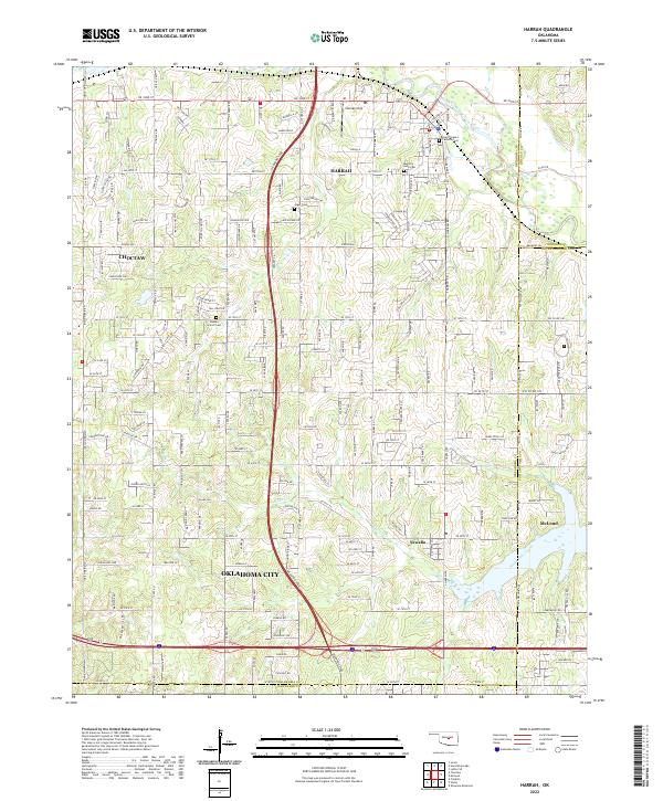
2022 Map of Harrah
USGS Topo · Published 2022About this map
Harrah serves as a central hub on this 2022 survey, positioned north of the winding North Canadian River and the rural Steciak Strip development. The landscape is structured by the historic Indian Meridian on the western edge and the modern corridor of the Kickapoo Tpke, which cuts a north-south path through the center of the quadrangle. This juxtaposition of old survey lines and new transit infrastructure highlights the evolving suburban character of the region as it borders eastern Oklahoma City. Genealogists will find significant value in the documentation of local burial grounds, including the Memory Lane Cem and Saint Teresa's Catholic Cem near the town center, as well as the outlying Jager Cem and Kansas School Cem. To the southeast, the terrain softens toward Newalla and the banks of North Deer Creek, marking the transition into neighboring McLoud.
Find a feature on this map
187 named features on this map. Tap any name to fly to it.
Don’t see what you’re looking for? This feature index may not catch every label — zoom into the map to look around manually.
Map Details
Editions of this 2022 Harrah Map
This is the sole edition of this map. No revisions or reprints were ever made.
Other maps of this area

1892 · Moore
USGS Topo · 1:62,500

1892 · Edmond
USGS Topo · 1:62,500

1898 · Purcell
USGS Topo · 1:125,000

1909 · Luther
USGS Topo · 1:62,500

1930 · McLoud
USGS Topo · 1:62,500

1934 · Moore
USGS Topo · 1:62,500

1935 · Edmond
USGS Topo · 1:48,000

1938 · Moore
USGS Topo · 1:62,500

1940 · Edmond
USGS Topo · 1:62,500

1954 · Oklahoma City
USGS Topo · 1:250,000