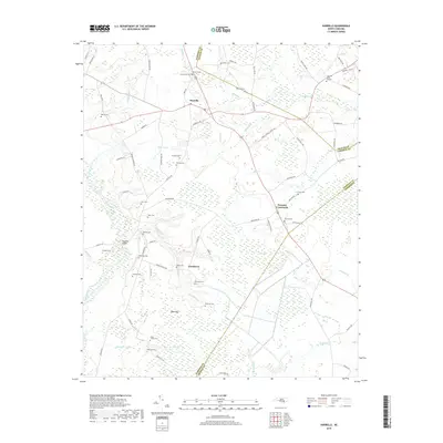
2019 Map of Harrells
USGS Topo · Published 2019About this map
The Black River winds through this coastal plain landscape where the borders of Sampson, Duplin, and Pender counties converge. In this modern survey, the rural settlement of Harrells serves as a central hub, surrounded by smaller communities like Ezzelltown and Newtons Crossroads. The terrain is characterized by extensive wetlands and distinctive landforms such as Bear Bay and Gap Bay, which are drained by a network of waterways including Bulltail Cr and Doctors Cr.
Find a feature on this map
79 named features on this map. Tap any name to fly to it.
Don’t see what you’re looking for? This feature index may not catch every label — zoom into the map to look around manually.
Map Details
Editions of this 2019 Harrells Map
This is the sole edition of this map. No revisions or reprints were ever made.
Other maps of this area

1953 · Florence
USGS Topo · 1:250,000

1954 · Florence
USGS Topo · 1:250,000

1954 · White Lake
USGS Topo · 1:62,500

1955 · Atkinson
USGS Topo · 1:62,500

1959 · Garland
USGS Topo · 1:62,500

1962 · Rose Hill
USGS Topo · 1:62,500

1982 · Elizabethtown
USGS Topo · 1:100,000
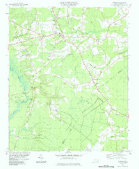
1984 · Harrells
USGS Topo · 1:24,000
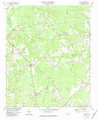
1984 · Delway
USGS Topo · 1:24,000
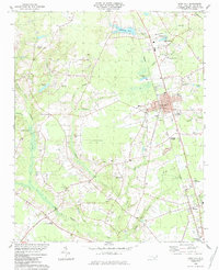
1984 · Rose Hill
USGS Topo · 1:24,000