
1916 Map of Harrington
USGS Topo · Published 1916About this map
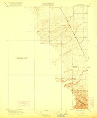
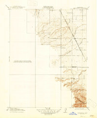
Harrington and the surrounding agricultural landscapes of the Sacramento Valley are depicted here during a period of transition under the supervision of Franklin K. Lane and George Otis Smith. The terrain is defined by the sharp contrast between the level valley floor and the rising foothills to the west, where seasonal drainages like Petroleum Creek and Brush Creek cut through the rising contours. This survey, conducted in 1905, emphasizes the critical role of transportation in this rural corridor, anchored by the Southern Pacific Woodland Line. The map also documents the political geography of the era, clearly marking the boundary between Colusa Co and Yolo Co. To the south, Buckeye Creek and Bird Creek meander across the lower elevations, highlighting the drainage patterns essential to the region's early development.
Find a feature on this map
8 named features on this map. Tap any name to fly to it.
Don’t see what you’re looking for? This feature index may not catch every label — zoom into the map to look around manually.
Map Details
Editions of this 1916 Harrington Map
3 editions found
Other maps of this area

1888 · Marysville
USGS Topo · 1:125,000

1891 · Marysville
USGS Topo · 1:125,000

1894 · Marysville
USGS Topo · 1:125,000

1895 · Marysville
USGS Topo · 1:125,000

1905 · Harrington
USGS Topo · 1:24,000

1907 · Dunnigan
USGS Topo · 1:62,500

1907 · Colusa
USGS Topo · 1:62,500

1911 · Grimes
USGS Topo · 1:31,680

1916 · Hershey
USGS Topo · 1:31,680

1916 · Zamora
USGS Topo · 1:31,680