
1954 Map of Harrington Lake
USGS Topo · Published 1956About this map
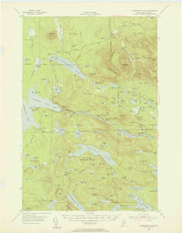
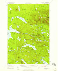
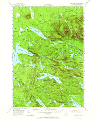
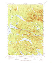
Appalachian Trail hikers in the mid-1950s navigated this remote stretch of the North Woods, winding past Rainbow Lake and Rainbow Mountain. The landscape is dominated by the intricate waterways of the West Branch Penobscot River, where industrial engineering met the wilderness at the Ripogenus Dam and Chesuncook Dam. This survey captures the region as it functioned for both forestry and early conservation, with a Forest Service Camp and a Ranger Station positioned to monitor the vast timberlands.
Find a feature on this map
132 named features on this map. Tap any name to fly to it.
Don’t see what you’re looking for? This feature index may not catch every label — zoom into the map to look around manually.
Map Details
Editions of this 1954 Harrington Lake Map
5 editions found
Other maps of this area

1927 · Katahdin
USGS Topo · 1:48,000

1930 · Katahdin
USGS Topo · 1:62,500

1949 · Katahdin
USGS Topo · 1:62,500

1951 · Norcross
USGS Topo · 1:62,500

1952 · Jo-Mary Mountain
USGS Topo · 1:62,500

1952 · First Roach Pond
USGS Topo · 1:62,500

1953 · Telos Lake
USGS Topo · 1:62,500

1954 · Chesuncook
USGS Topo · 1:62,500

1954 · Grant Farm
USGS Topo · 1:62,500

1954 · Presque Isle
USGS Topo · 1:250,000