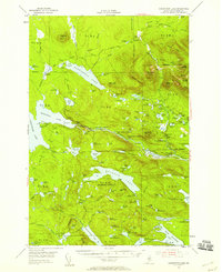
1954 Map of Harrington Lake
USGS Topo · Published 1958About this map
The Penobscot River West Branch carves through a high-elevation backcountry corridor in this mid-century survey, revealing a landscape defined by industrial water management and emerging wilderness recreation. The massive Ripogenus Dam and Chesuncook Dam anchor the hydrology of the region, while the eastern portion of the map is dominated by the steep slopes of Doubletop Mountain and the peaks within the Baxter State Park Boundary.
Find a feature on this map
142 named features on this map. Tap any name to fly to it.
Don’t see what you’re looking for? This feature index may not catch every label — zoom into the map to look around manually.
Map Details
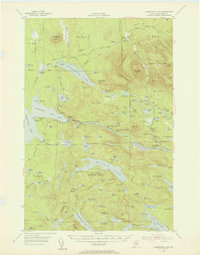
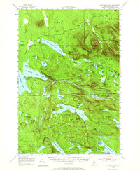
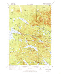
Editions of this 1954 Harrington Lake Map
5 editions found
Other maps of this area

1927 · Katahdin
USGS Topo · 1:48,000

1930 · Katahdin
USGS Topo · 1:62,500

1949 · Katahdin
USGS Topo · 1:62,500

1951 · Norcross
USGS Topo · 1:62,500

1952 · Jo-Mary Mountain
USGS Topo · 1:62,500

1952 · First Roach Pond
USGS Topo · 1:62,500

1953 · Telos Lake
USGS Topo · 1:62,500

1954 · Chesuncook
USGS Topo · 1:62,500

1954 · Grant Farm
USGS Topo · 1:62,500

1954 · Harrington Lake
USGS Topo · 1:62,500