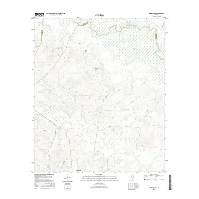
2016 Map of Harris Chapel
USGS Topo · Published 2016About this map
The Sabine River carves a serpentine northern boundary through this East Texas landscape, where the borders of Harrison, Panola, and Rusk counties converge. The terrain is defined by a complex network of wetlands and seasonal watercourses, including Cypress Slough, Gandia Slough, and Black Slough. These bottomlands are dotted with numerous small lakes such as Hendricks Lakes and Redman Lakes, which likely served as significant local landmarks and resources for the surrounding communities.
Find a feature on this map
53 named features on this map. Tap any name to fly to it.
Don’t see what you’re looking for? This feature index may not catch every label — zoom into the map to look around manually.
Map Details
Editions of this 2016 Harris Chapel Map
This is the sole edition of this map. No revisions or reprints were ever made.
Other maps of this area

1956 · Tyler
USGS Topo · 1:250,000

1958 · Darco
USGS Topo · 1:62,500

1958 · Carthage
USGS Topo · 1:62,500

1958 · Tatum
USGS Topo · 1:62,500

1960 · Minden
USGS Topo · 1:62,500

1983 · Grand Bluff
USGS Topo · 1:24,000

1983 · Tatum
USGS Topo · 1:24,000

1983 · Harris Chapel
USGS Topo · 1:24,000

1983 · Easton
USGS Topo · 1:24,000

1983 · Fair Play
USGS Topo · 1:24,000