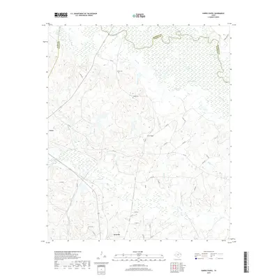
2019 Map of Harris Chapel
USGS Topo · Published 2019About this map
Beckville and Tatum anchor the southwestern and western portions of this 2019 survey, representing the modern landscape of Panola and Rusk counties. The northern boundary is defined by the winding course of the Sabine River, which feeds a complex system of wetlands including Hendricks Lakes, Trout Lake, and Redman Lakes. The hydrology here is dense, with multiple sloughs like Gandia Slough and Cypress Slough intersecting the lowlands near the Harrison County line. For those tracing local family history, several prominent burial sites are recorded across the terrain, including Watson Cem, Williams Cem, and Conner Cem. The transition from the river bottomlands to the interior is marked by numerous named tributaries such as Mulberry Cr and Hogan Cr, illustrating the well-watered character of this corner of East Texas.
Find a feature on this map
51 named features on this map. Tap any name to fly to it.
Don’t see what you’re looking for? This feature index may not catch every label — zoom into the map to look around manually.
Map Details
Editions of this 2019 Harris Chapel Map
This is the sole edition of this map. No revisions or reprints were ever made.
Other maps of this area

1956 · Tyler
USGS Topo · 1:250,000

1958 · Darco
USGS Topo · 1:62,500

1958 · Carthage
USGS Topo · 1:62,500

1958 · Tatum
USGS Topo · 1:62,500

1960 · Minden
USGS Topo · 1:62,500

1983 · Grand Bluff
USGS Topo · 1:24,000

1983 · Tatum
USGS Topo · 1:24,000

1983 · Harris Chapel
USGS Topo · 1:24,000

1983 · Easton
USGS Topo · 1:24,000

1983 · Fair Play
USGS Topo · 1:24,000