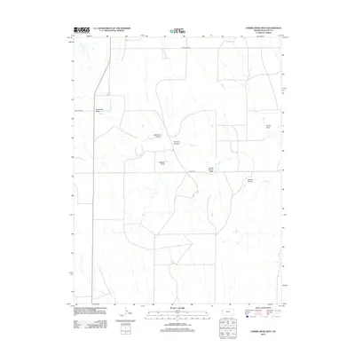
2012 Map of Harris Draw West
USGS Topo · Published 2012About this map
Big Spring and the intricate drainage systems of western Kansas define this landscape in the early 21st century. The terrain is deeply incised by family-named topographic features such as Armstrong Draw, Harris Draw, and Ruggles Draw, which channel seasonal water toward the larger forks of the creek system. This 2012 survey documents the hydrological network where the N Fork Lake Cr and S Fork Lake Cr converge into Lake Cr. Several distinct canyons, including Blindman Canyon, Kolacny Canyon, and Wildcat Canyon, break the high plains profile. The infrastructure is characterized by a precise grid of rural routes, including Road WA-EZ and Road WA-W-BB, reflecting the systematic agricultural partitioning of the region.
Find a feature on this map
15 named features on this map. Tap any name to fly to it.
Don’t see what you’re looking for? This feature index may not catch every label — zoom into the map to look around manually.
Map Details
Editions of this 2012 Harris Draw West Map
This is the sole edition of this map. No revisions or reprints were ever made.
Other maps of this area

1954 · Goodland
USGS Topo · 1:250,000

1955 · Scott City
USGS Topo · 1:250,000

1956 · Goodland
USGS Topo · 1:250,000

1957 · Goodland
USGS Topo · 1:250,000

1958 · Scott City
USGS Topo · 1:250,000

1959 · Weskan
USGS Topo · 1:62,500

1959 · Wallace
USGS Topo · 1:62,500

1959 · Harris Draw
USGS Topo · 1:62,500

1959 · Horsethief Draw
USGS Topo · 1:62,500
1979 · Wallace
USGS Topo · 1:24,000