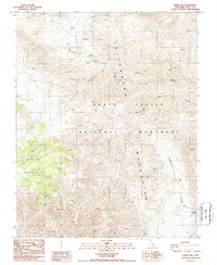
1986 Map of Harris Hill
USGS Topo · Published 1987About this map
Keeler Mine and the Quackenbush Mine sit among the high elevations of the Cottonwood Mountains, marking a landscape defined by 20th-century resource extraction. This 1980s survey captures the area within the Death Valley National Monument prior to its later redesignation as a National Park. The map reveals a reliance on isolated water sources such as Goldbelt Spring, Hunter Spring, and Cottonwood Springs, which were essential for both mining operations and travel through the arid terrain.
Find a feature on this map
21 named features on this map. Tap any name to fly to it.
Don’t see what you’re looking for? This feature index may not catch every label — zoom into the map to look around manually.
Map Details
Editions of this 1986 Harris Hill Map
2 editions found
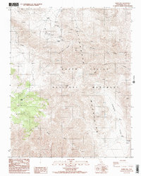
Other maps of this area

1908 · Ballarat
USGS Topo · 1:250,000

1913 · Ballarat
USGS Topo · 1:250,000

1948 · Death Valley
USGS Topo · 1:250,000

1950 · Darwin
USGS Topo · 1:62,500

1950 · Ubehebe Peak
USGS Topo · 1:62,500

1951 · Darwin
USGS Topo · 1:62,500

1951 · Ubehebe Peak
USGS Topo · 1:62,500

1951 · Panamint Butte
USGS Topo · 1:62,500

1951 · Marble Canyon
USGS Topo · 1:62,500

1954 · Death Valley
USGS Topo · 1:250,000