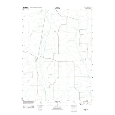
2012 Map of Harris
USGS Topo · Published 2012About this map
Medicine Creek and West Locust Creek define the north-south drainage of this agricultural region in Sullivan County, where the small communities of Harris and Newtown serve as local anchors. The landscape is marked by a network of rural roads such as Azalea Dr and Ava Dr, connecting scattered farmsteads and family-linked sites. The distribution of Busby Cemetery, Brackett Cemetery, and the Wintersville Cemetery near the settlement of Wintersville provides a clear view of the area's ancestral settlement patterns. The U.S. Geological Survey documented this quadrangle during a period of modern rural stability, capturing the precise locations of public buildings and homesteads that represent the enduring small-town character of northern Missouri.
Find a feature on this map
35 named features on this map. Tap any name to fly to it.
Don’t see what you’re looking for? This feature index may not catch every label — zoom into the map to look around manually.
Map Details
Editions of this 2012 Harris Map
This is the sole edition of this map. No revisions or reprints were ever made.
Other maps of this area

1946 · Galt
USGS Topo · 1:62,500

1949 · Galt
USGS Topo · 1:62,500

1954 · Centerville
USGS Topo · 1:250,000

1957 · Centerville
USGS Topo · 1:250,000

1958 · Centerville
USGS Topo · 1:250,000

1964 · Pollock NW
USGS Topo · 1:24,000

1964 · Ravanna
USGS Topo · 1:24,000

1964 · Harris
USGS Topo · 1:24,000

1964 · Half Rock
USGS Topo · 1:24,000

1964 · Milan West
USGS Topo · 1:24,000