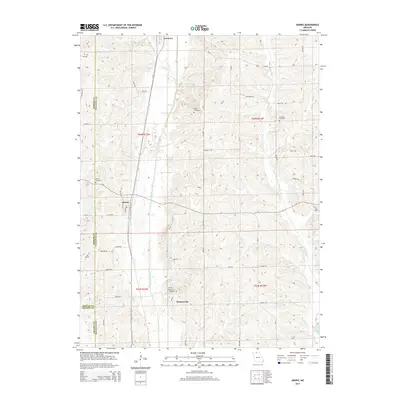
2014 Map of Harris
USGS Topo · Published 2014About this map
Medicine Creek and W Locust Cr define the drainage patterns of this rural landscape, which spans the junctions of Mercer, Sullivan, and Grundy counties. The small community of Harris sits at the intersection of Linn Rd and 1st Ave, while the northern settlement of Newtown is positioned near the headwaters of Hooton Cr. This area is characterized by scattered family-named cemeteries that reflect generations of local settlement, including the Busby Cemetery, Brackett Cemetery, and Wintersville Cemetery. The road network is primarily composed of local routes like Kingston Rd and Liberty Rd, providing access between the upland ridges and the creek valleys. Near the southern edge, the tiny settlement of Wintersville centers around its namesake cemetery and the crossing of Austin Dr. The topography is intricately detailed, showing the numerous small draws and hills that separate the major creek beds in this corner of Missouri.
Find a feature on this map
53 named features on this map. Tap any name to fly to it.
Don’t see what you’re looking for? This feature index may not catch every label — zoom into the map to look around manually.
Map Details
Editions of this 2014 Harris Map
This is the sole edition of this map. No revisions or reprints were ever made.
Other maps of this area

1946 · Galt
USGS Topo · 1:62,500

1949 · Galt
USGS Topo · 1:62,500

1954 · Centerville
USGS Topo · 1:250,000

1957 · Centerville
USGS Topo · 1:250,000

1958 · Centerville
USGS Topo · 1:250,000

1964 · Pollock NW
USGS Topo · 1:24,000

1964 · Ravanna
USGS Topo · 1:24,000

1964 · Harris
USGS Topo · 1:24,000

1964 · Half Rock
USGS Topo · 1:24,000

1964 · Milan West
USGS Topo · 1:24,000