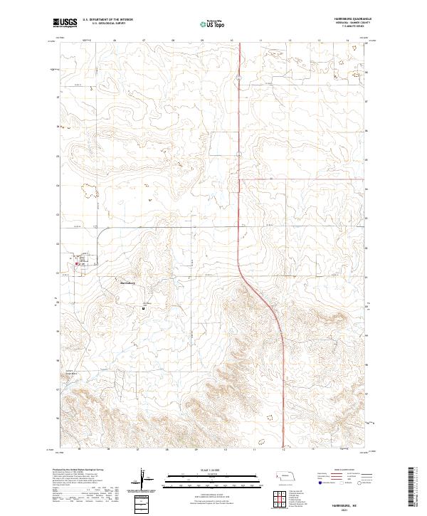
2021 Map of Harrisburg
USGS Topo · Published 2021About this map
Harrisburg serves as the focal point of this western Nebraska landscape, where the Banner County Courthouse stands as a central civic landmark. The town’s layout is defined by a grid including Park St, transitioning quickly into a sprawling network of rural routes such as Co Rd 18 and Co Rd 24. This mapping provides a contemporary look at the settlement patterns in one of the state's least-populated counties, illustrating how small administrative centers like Harrisburg anchor the surrounding agricultural and ranching community. To the south, the topography shifts near the Harrisburg Cem, leading toward the distinct elevation of Lovers Leap Butte. This feature, along with the numerous county roads like Co Rd 39 and Co Rd 20, highlights the intersection of public land management and the open terrain of the Panhandle.
Find a feature on this map
18 named features on this map. Tap any name to fly to it.
Don’t see what you’re looking for? This feature index may not catch every label — zoom into the map to look around manually.
Map Details
Editions of this 2021 Harrisburg Map
This is the sole edition of this map. No revisions or reprints were ever made.
Other maps of this area

1898 · Scotts Bluff
USGS Topo · 1:125,000

1954 · Scottsbluff
USGS Topo · 1:250,000

1958 · Scottsbluff
USGS Topo · 1:250,000

1973 · Scotts Bluff 4 NW
USGS Topo · 1:24,000

1973 · Kimball 2 NE
USGS Topo · 1:24,000

1973 · Scotts Bluff 4 SE
USGS Topo · 1:24,000

1973 · Scotts Bluff 4 NE
USGS Topo · 1:24,000

1973 · Scotts Bluff 4 SW
USGS Topo · 1:24,000

1973 · Scotts Bluff 3 SE
USGS Topo · 1:24,000

1973 · Kimball 1 NE
USGS Topo · 1:24,000