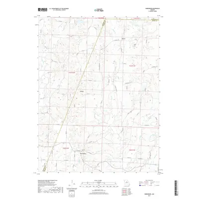
2017 Map of Harrisburg
USGS Topo · Published 2017About this map
Harrisburg anchors this central Missouri landscape, situated near the headwaters of Callahan Cr and Blaze Cr. The terrain is defined by a dense network of tributaries feeding into Perche Cr and Moniteau Cr, illustrating the deeply carved drainage patterns of northern Boone County. To the north, the small settlements of Minnie and Rucker appear along the transition into Howard and Randolph counties.
Find a feature on this map
79 named features on this map. Tap any name to fly to it.
Don’t see what you’re looking for? This feature index may not catch every label — zoom into the map to look around manually.
Map Details
Editions of this 2017 Harrisburg Map
This is the sole edition of this map. No revisions or reprints were ever made.
Other maps of this area

1890 · Moberly
USGS Topo · 1:125,000

1890 · Glasgow
USGS Topo · 1:125,000

1917 · Sturgeon
USGS Topo · 1:62,500

1952 · Hilldale
USGS Topo · 1:24,000

1953 · Moberly
USGS Topo · 1:250,000

1953 · Burton
USGS Topo · 1:24,000

1953 · Renick
USGS Topo · 1:24,000

1953 · Higbee
USGS Topo · 1:24,000

1953 · Clark
USGS Topo · 1:24,000

1954 · Moberly
USGS Topo · 1:250,000